An easy to use mapping software developed to help industry professionals transform real-world scenarios into digital assets.
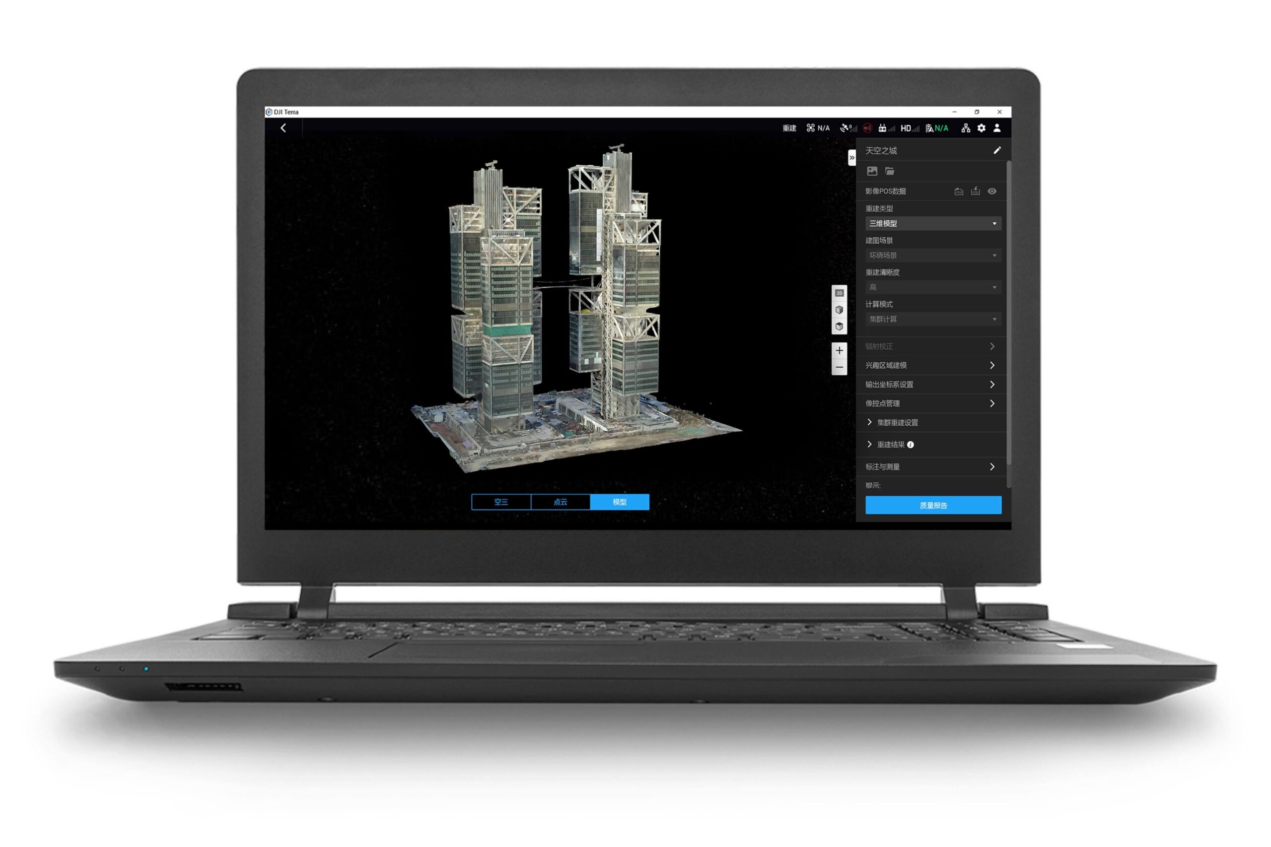
- Model reconstruction : Import images to generate a high-resolution 2D orthophoto map and a high-accuracy 3D model.
- Real-time reconstruction : Generate a 2D orthophoto map and a 3D model in real time during the flight to output results as you fly.
- Lidar data processing: Working with DJI L1, DJI Terra can generate high-accuracy true-color cloud points with one click.
- Detailed Inspection : Automatically generate routes based on target points marked in a 3D model or point cloud to automate inspection workflows.
- Model application: Easily measure targets coordinates, distances, areas, volumes, and other key data and rename or export the data results.
1. An activation code for DJI Terra will be sent to your email address after your subscription is successfully completed.
2. You can request a refund if the product activation code is not activated for use within 7 calendar days after shipment. No return or refund is warranted for activated licenses.
3. For a license that supports one device only, you can submit one unbinding request in a calendar year. License that supports three devices: You can submit two unbinding requests in a calendar year. After you submit an unbinding request, all bound devices under the license will be unbound.
4. The user account that is bound to a license cannot be changed
Recenzije
Još nema recenzija.